Tuesday was a rainy day. Wednesday I had a day of medical tests and doctor appointments. Frustrated because Wednesday was a beautiful day for a bike ride. Alas, I was at the Med Center from 7:30 am until 3:30pm. By the time I got home I was not up for a bike ride.
Thursday was computer coffee day. A sunny, and getting warmer day. Dressed in my cycling kit for coffee. No one else was looking to ride pavement today (Dennis was planning to ride the Trace later). Since I had the road bike with me, I drover over to Xtreme Wheels, stopped to chat a little with Zach, and headed on the bike toward the Trail Center.
The day was sunny, and a stiff breeze from the South. One of my goals on this ride was to see how the road bike handles (and how I can pedal it) into the wind. Things went well down toward Manawa. My legs were not fully warmed up, so took it easy along Mosquito Creek (about 9 mph).
After the Indian Creek Bridge, I flew up the trail with the wind. Hit over 21 mph in spots, settle in at about 17 mph. This bike (my Gary Fisher Rail Super T) loves to cruise at the 16-17 mph range. Just my body cannot sustain that pace, yet.

Stopped at the Western Historic Trails Center. Checked the trail conditions just behind the trail. The Iowa Riverfront Trail there is still underwater. And, there is a tree that fell across the trail. Drank me G2, replenished my water, and headed back.
The ride down Indian Creek Trail into the wind was what I was looking for. Into the wind, I rode at about 11 mph. You know how it is riding into the wind - the bike and you seem to be fighting the wind all the way. But my road bike seemed to push me to ride faster. It was not a fight with the wind. While I did not try riding down on the drops, (not stable enough there) the bike handled very well in the wind.
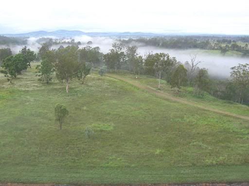
On the way back, I dropped down to the mountain bike trail area to check the water level. The river is down about a foot. Very slowly, the water is also dropping in the trail area. The photo here is of one of the utility poles the floated up the levee. There is supposed to a race here the last Saturday in September. I doubt the trails will be dry and rideable by then.


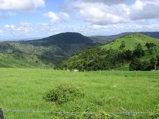
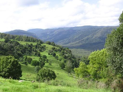


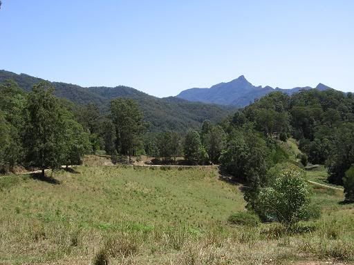
 When we reach the road we turn right and pass the fine gates and drive to Noseley Hall - there's a sign to the cookery school which is run there.


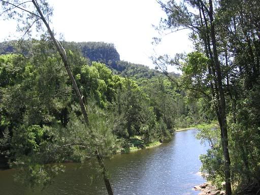
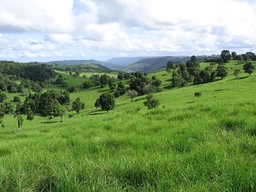
 Back along the same route, past Goldsmith's cottage, until we meet the footpath to Tugby. This goes alongside Pop's spinney, through a field where the farmer has just brought some sheep and lambs. We follow the yellow posts towards Tugby, but turn right before we reach the village. Our way lies past Lake House Farm, and out to the road from Tugby. We take the road directly opposite the footpath, which leads us along a gentle flat half mile or so back to Goadby.